Historic Population
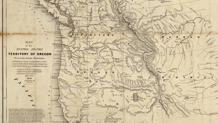
Now home to nearly four million people living in 36 counties, Oregon looked much different about 150 years ago with only 4 counties and about 13,000 people--not to mention that the total area of Oregon spanned five current day states and part of Canada at the time.
Ghost Towns
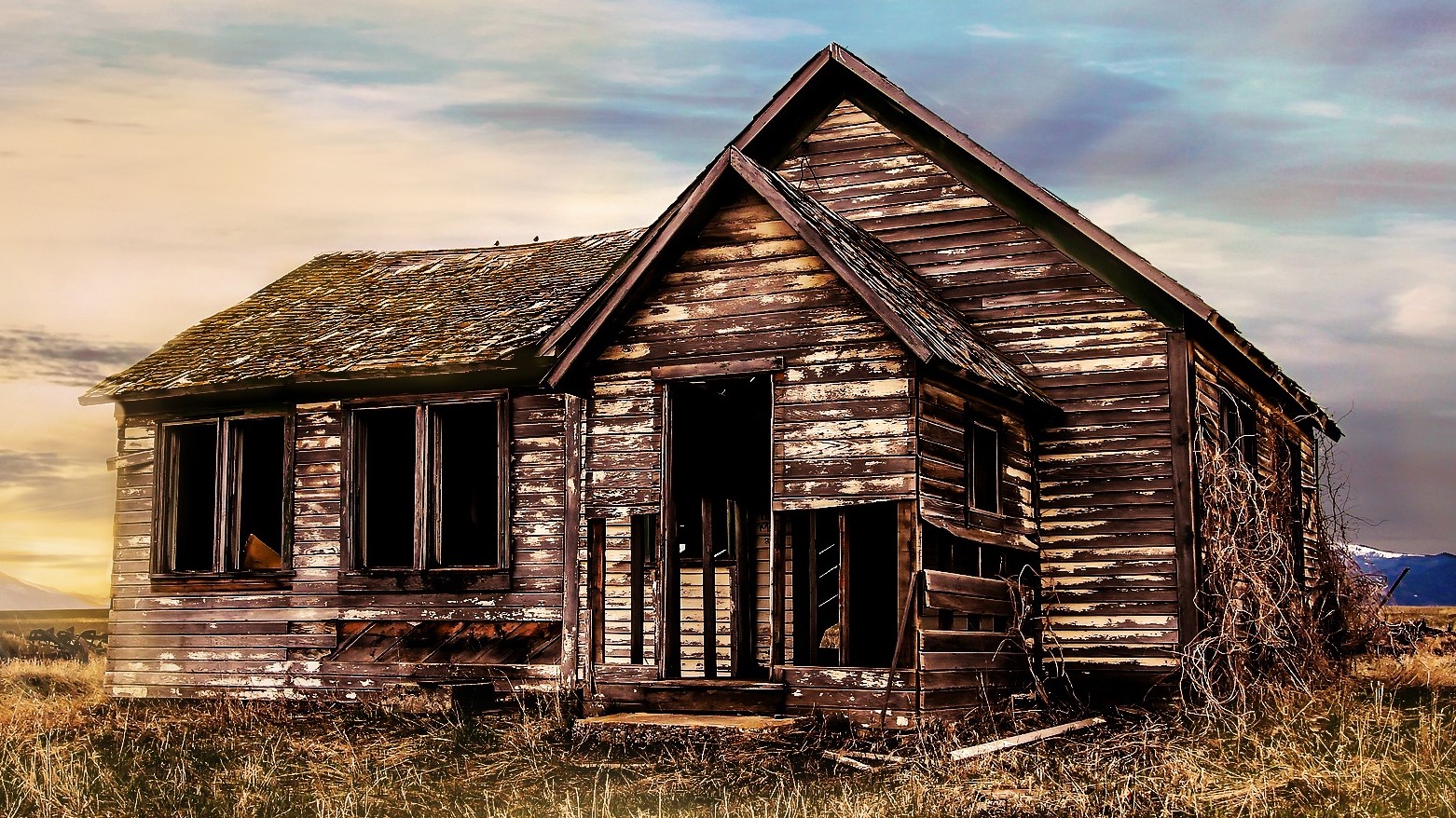
Ghost towns are towns that were once booming, but have since faded into obscurity. Common reasons for their demise include a lack of lumber or gold in the area after a boom, illness, or roads that make the town defunct. Because of Oregon's lush forests and plentiful gold and precious metal deposits, Oregon is full of ghost towns
Historic Volcanic Eruptions

Many around the world have heard of Mt. St. Helens because of its violent eruption in 1980, but not so many know about the active and dormant volcanoes around Oregon. Ranging from Crater Lake--the remains of Mt. Mazama--to Mt. Tabor, an extinct volcano in Portland city limits, this map covers notable historic eruptions in the Beaver State.